Beach photography welcome page > Introduction > Location map > Photography Site D
Manasquan Beach Photography
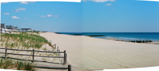
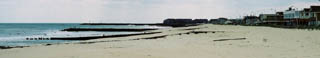
Photography Site D
North-facing photos at this site: -none-
South-facing photos at this site: Set 08
Additional photos at this site: -none-
| Notes | Illustrating Photographs |
|---|---|
Aligned with the stone groin between Main Street and Riddle Way. The photo site is just to the south of 165 Beachfront, along the wooden extension of the stone groin. The photos at right were taken later in 2007. |
|
| 2010 - No comments. |
|
| 2008 - No comments. | -x- |
| 2007 - No comments. | - x - |
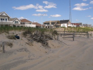
| 2006 - Between the 2003 and 2006 photos the house with the chimney in the middle of its roof has been extensively modified. No flags are on its pole in this photo. | 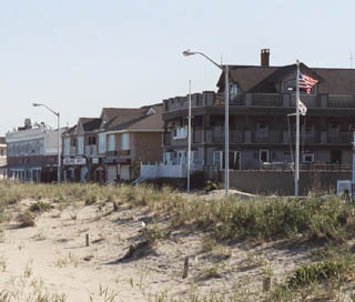 |
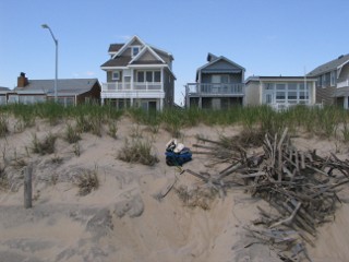
| 2003 - In the 2003 photo of Set 08 a second flag pole has been added at the house with the chimney in the middle of its roof. | 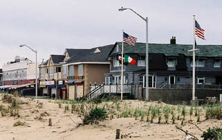 |
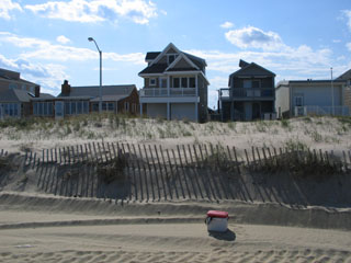
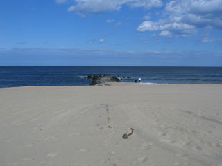
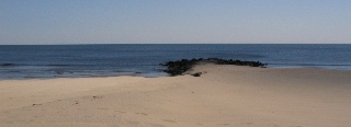
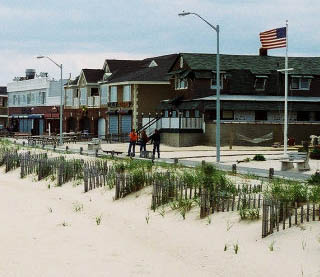
1997 - Pre-beachfill photography. Top: In the 1997 photo of Set 08 there is a flag pole at the right side of the photo; the flag pole is in front of 181 Beachfront. Visible behind the flagpole is a house (two south from #181 and next to one of the Main Beach restaurants) that has white balusters for the porch railing and a chimney in the middle of its roof. Bottom: The mostly buried wooden groin in the foreground of this view from Site C at Riddle Way is the landward extension of the stone groin at Site D. The broken up wooden groin in the water to the south is at Site E, then further south the sturdy rock groin at Brielle Road (Site F) is visible. |
|